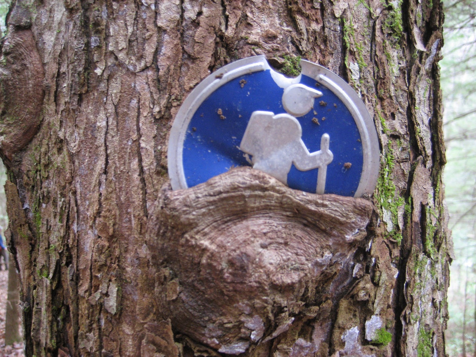
After hiking a nice long section of the
Cumberland Trail a month ago, I've been looking forward to getting back on the trail. After a pi-day party last week, I committed to hiking another section. I was wanting to hike the Obed River section, but it turns out that the Catoosa Wildlife Management Agency closes all the roads out there in March, so we wouldn't be able to drive to the far trailhead. I am curious about the closure, is it just to keep the dirt tracks from getting torn up in the spring mud? Or is there some other logical explanation? Once we learned that the roads were closed, hiking the Obed section seemed less likely so we settled on hiking the
Piney River section, located near Spring City. Jake wanted to meet at the trailhead at 7am, so I left the house dark and early, 5:30 in order to give me enough time to stop for gas and arrive a little early. I did get there early, probably around 6:50, and it was still almost pitch black. Somehow, I had forgotten to bring any flashlights with me, so I stood out in the dark with the dog on her leash and waited for Jake. At quarter past I gave him a call and he was just entering Spring City. By the time he pulled up at the trailhead it was getting light. Probably not such a bad thing that he was a little late. We left his car at the Piney River trailhead and piled into my car for the short drive up to the Newby Trailhead.
 |
| Bridge over Duskin Creek |
 |
| Duskin Creek Crossing cache |
The campground around the Newby trailhead does not look like it sees much maintenance, or camping action. But we didn't linger long, just put on our packs and hit the trail. The forest was pretty quiet up here, not much birdsong action, as we quickly progressed down to our first and only geocache stop of the day. We passed another campground and trailhead where the Newby Branch of Duskin creek intersects Duskin Creek proper. This would be a great spot to take the family for a little remote camping. A nice cool stream, remote campsite, and easy hiking distance to a cool waterfall. I definitely hope to back in the summer. A little over a quarter mile down the trail was our first geocache stop of the day. It was kind of the only geocache stop along our hike, the only other cache being an earthcache. This cache though,
Duskin Creek Crossing, was the only cache that we actually had to look for, and I wasn't all that hopeful we would find it. The cache had been placed in 2006 and had a little over a dozen finds in its first three years. But after 2009, not a single find, jsut a number of DNFs posted. The fact that it had been six years since anyone found it made me doubt our success. I told Jake that the coordinates might not be that accurate and that we would ahve to search a 100ft radius for an old ammo can. Not 3 minutes after starting our search and Jake yelled out that he had found the cache. It looked almost brand new, and when I opened it it had the new rubber smell. Not a drop of moisture or sign of age in the container. Just brand new toys still in their packaging. I rifled through the contents for a while, then read through the logbook which verified the cache hadn't been touched since 2009. It is such a wonderful feeling to find a cache like this one. Not touched for years, probably given up for gone by many of the locals. Heck, I wasn't even a geocacher when this geocache was last found. Just cool. Jake didn't look as impressed, but then, he's not a geocacher. I made sure to hide the cache back real well before we left, and I took some coordinate readings as well. I am guessing that now that I found this one, there will be some more finders this summer, people that were just waiting to now if it was there before giving it a try.
 |
| White Pine Cascade |

We hiked on, across a bridge and beside the burbling stream. I started hearing some songbirds and tried pointing out the songs to Jake. Carolina chickadee, red-eyed vireo, tufted titmouse. Not a lot of birdsong, but enough to keep us straining our ears over the constant roar of the rushing water. We soon walked right up on White Pine Cascade. I couldn't resist taking my shoes off and wading in, but boy was it cold. After only seconds my feet were stinging with cold. I took a rain check on the dip. Hopefully there is still enough water here in summer for a nice swim.
 |
| Jake climbing up underneath Spider Den Bluff |
After the waterfall the trail started to stay higher up in the gorge. This made for easy walking, but we could only catch glimpses of the rapids and pools below. And it was such a tease to see little bits of what looked like amazing swimming holes, beautiful camp spots, and pristine white-water. So when we came upon a short spur trail called Spider's Den Bluff that would take us down to the water again there was no question we were going down. We explored around the rocks down there for a while, me climbing up onto all sorts of large boulders. There was also another really nice back-country campsite down here, complete with table and chairs fashioned out of large slabs of sandstone. It is unlikely I'll have an opportunity to camp here, but oh do I wish I could.
 |
| Large blockfall at Spider Bluff |
 |
| Camp furniture near Spider Bluff |
 |
| Deep Pool bridge (cascade was further upstream) |
Not half a mile further was another nice big campsite above the Deep Pool bridge and cascades. The bridge doesn't actually cross the creek here, but spans a deep hole on the side of the creek. Another tempting swimming spot, why oh why did we have to do this hike in early spring? A quarter mile further was Hemlock Falls, which when we came up to, Jake declared, "unimpressive". He had a point, the falls are not more than a short 3 ft drop along the stream, and not even a straight drop, but a flow down steps in the rock. Still, it was yet again a choice spot to stop and relax and get our feet wet. I learned very quickly that the rock underneath the flowing water was very slippery. A painful lesson too, I banged my shin pretty hard and split the skin over my shin bone. It hurt like a mother, but at least it wasn't a big split, just a hole really. Nothing a band-aid couldn't fix. Oh wait, did I forget to bring the first aid kit? Drats! Good thing blood washes out, I had to settle for the old sock-bandage.
 |
| The unimpressive Hemlock Cascade |
 |
| Slippery rocks fleshwound |
 |
| Jake chilling above Hemlock Falls |
 |
| Camp at Piney River junction |
We stopped for lunch a half a mile later at yet another nice campsite where the Piney River, Duskin Creek and Rockhouse Branch all meet up. A few backpackers actually walk by us as we eat, the only people we saw on the trail all day. I think I read somewhere that the Cumberland Trail will eventually extend up the Piney River and towards Laurel-Snow Pcoket Wilderness Area. Doing so would mean that through hikers might cut-out all of the marvelous Duskin creek trail we had just come down. Or maybe they'd just take a side-trip up it on a rest day? The Piney River looks like it once had a decent road along it, there were signs of rock walls and bridge foundations to be seen. Next to one of these was a tiny cascade and the prettiest little bathing pool I'd seen all day. I couldn't stop thinking about how it would be the perfect pool to take the kids. Slow moving water, soft gravel bottom and sloping edge. Water falling softly down 1" high terraces in the rock ledge. Rhododendrons partially shading it from the sun, or onlookers. Just a perfect little pool. Unfortunately, it is probably too far a hike in for my kids right now. But maybe someday we will be back.
 |
| My favorite pool |
 |
| Old road bed hiking |
 |
| Oops, this isn't actually the video. But I did take one. |
 |
| Great suspension bridge across the Piney |
The trail followed the old road bed for quite a while and we passed a couple more small waterfalls coming down from small branch streams. None of them were quite as pretty as the ones we had passed, but they were all still nice to walk by. We crossed the river on a long suspension bridge that rocked and swayed as you tread on it. The dogs were very unhappy about the crossing, but I loved it. I may or may not have re-enacted a scene from the movie Shrek while getting one of Jake's dogs to cross. After the crossing the trail stayed high up on the gorge hillside and we were left only with glances down at the river below. Fortunately, there were also spring wildflowers blooming along this section of trail. I pulled out my hand-dandy field guide and identified trout lilly, rue anemone, yellow downy violets (I can't stop laughing about a yellow violet, what a name!) and bloodroot. There were a few others that I didn't get good ID's on.
 |
| Trout Lilly |
 |
| Yellow Downy Violet |
 |
| Bloodroot |
 |
| Rue anemone (maybe?) |
 |
| Jake near "flat rock" |
 |
| Little Sasha on the flat rock |
As we neared the end of the trail, we were quick to take another side diversion on the flat-rock loop, which would take us back down to the water. Another great hang-out, but this time there was more evidence of heavy use in the form of trash and graffiti. We were probably less than a half mile from the trailhead now, and I bet this area is pretty popular in the summer. In fact, this area is already pretty popular, we saw a dozen cars parked at the trailhead and tons of people fishing along the river and near the bridge.
 |
| Flatrock |
 |
| Flatrock |
 |
| Near flatrock |
 |
| Love campsite along Soak Creek |
It was about 2 o'clock and we both felt like we had enough energy for a bit more hiking. I was keen on trying to hike up to Piney Falls, where there was another earthcache. The cache page stated that you hiked from Cumberland State Park trailhead, but there certainly wasn't any signed trailhead that we could see. There was an old road on the west bank of Soak creek, which joins up with the Piney River near where we had parked, and at least from the maps, it looked like we could hike up Soak creek for a ways until we reached little piney branch, where we'd turn up to get to the falls. A two mile hike perhaps? We set off along the old road to find out. After passing a few more nice camp spots along the river, we arrived at the junction with little piney branch, only 1/2 mile from the lower piney falls according to my GPS. But there did not look like a dry way to cross soak creek. Nor did their appear to be a trail to follow on the other side. By this point we were a bit more tired of walking and starting to think of getting home, so we made the decision to stay on the road following soak creek and see if perhaps it led to a crossing further upstream. It didn't. But it did lead to a nice campsite and swimming hole that I dubbed "The Love Camp" because someone had written "LOVE" with coal on several rocks. A nice spot to end our hike, we turned around there. I read afterwards that the land around soak creek was recently acquired by CT State Park, and that their plan is to have a trail that connects the Piney River segment with Piney falls trails, stinging fork falls and then up to Jewet Gap. I can't wait for them to do this, it'll give me a great excuse to come back for another big hiking day. For over 12 miles of hiking it sure didn't feel like we had that much. It really helps to go with the flow, we were trending downhill most of the day. I'd highly recommend anyone doing this section to do it this way, and to shuttle cars to both ends.
After getting to the cars and saying by to my hiking partner I had to find out for myself where the trailhead for Piney Falls was, so I took a little detour from Spring City up highway 68 (grabbing a few more caches as well). Sure enough, there was a sign for Piney Falls trail as soon as the highway crested the ridgeline. I drove out to the firetower at the end of the road, and saw the trailhead as well. This might be agood trail to bring the kids on for a day hike. I will be back.
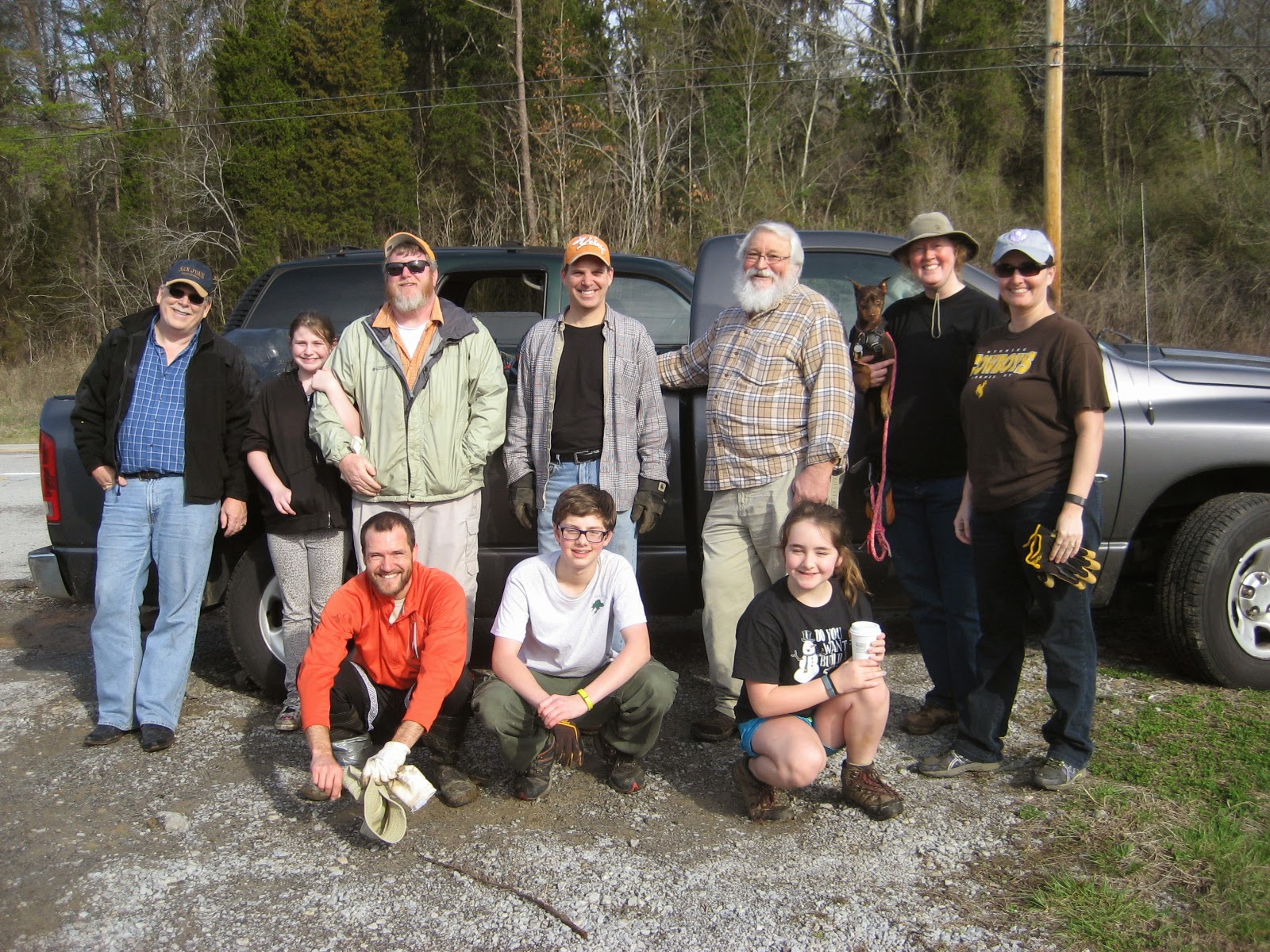
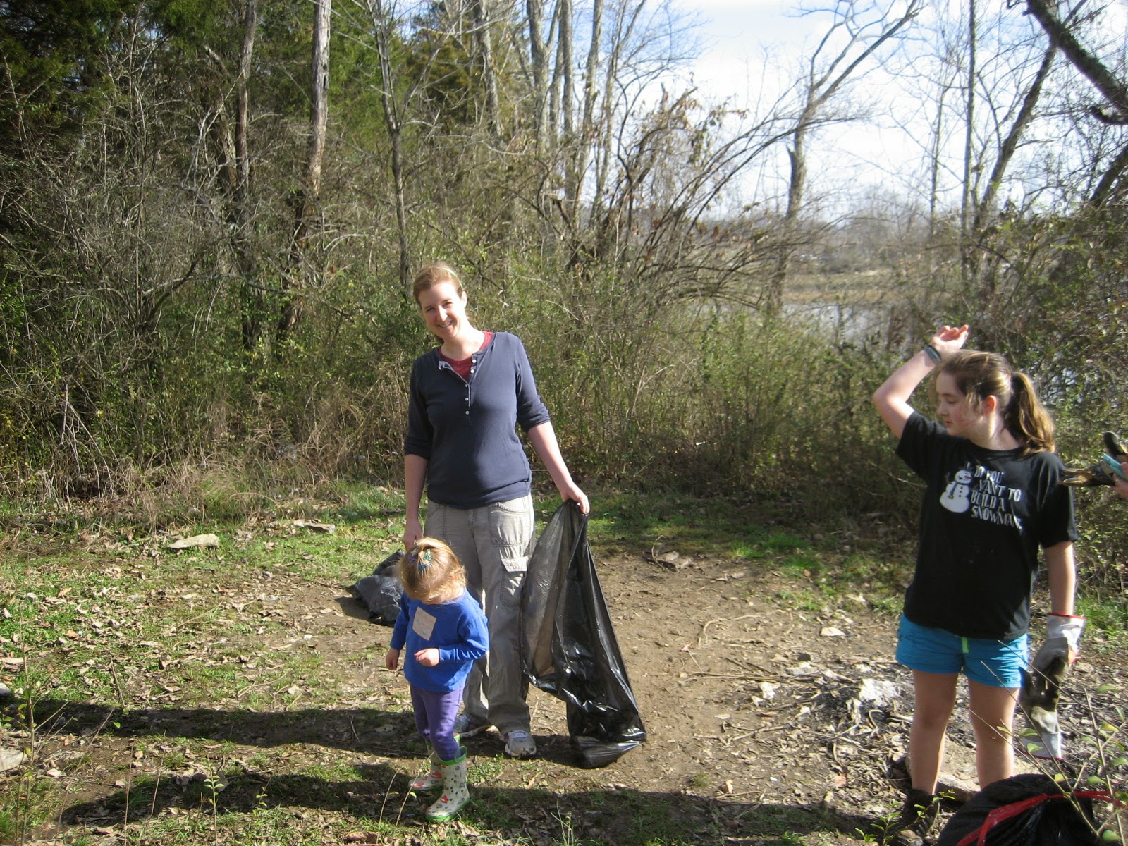
 Geocachers that get to know me learn that I am not a big fan of power trails. Those endless lines of geocaches strung out every 530ft along a rural highway. To be fair, perhaps I have never done them the way that people like them best, with a group of other cachers. I've either done sections of trails on my own, or with my young kids (as an example see this post). However, I like the term "power trail" and like to use it in ways that most geocachers don't. For example, did I just hike a trail with over 1000ft of elevation gain to find with a cache at the end of it? Power Trail! Maybe if I call enough of these kind of trails "power trails" I can reclaim this phrase to mean something that I like. Oh, it'll never happen, but that doesn't mean I won't try.
 When our plans to go camping this weekend fell through I knew I had an opportunity to go for a long run, so I got down to the business of preparing the multi-cache components. The final would be a plastic ammo-box. All other stages would be painted preform tubes with a small strip of write-in-rain paper in them with a short message and coords to the net stage. Once all was assembled the containers and other supplies fit neatly into a small backpack that I could run with. I drove out to the "far end" of the trail on West Outer Drive and started my run. Almost immediately I passed a fellow walking his dog. He happened to be the only person I saw all day on the trail, and he must have thought I looked strange carrying an ammo-container onto the trail with me way past hunting season. I hid that ammo can pretty quickly afterwards, then got into a groove of running for 1/2-3/4 mile and taking breaks to hide a stage. There are some really nice spots along this trail either by rocky bluffs, clear streams, or ancient looking beech trees. I avoided all these locations for my hides. This multi cache is about the journey along the trail, and I don't want to prevent future caches from placing nice geocaches by any of the better features out here. Plus my preform tubes can be effectively hidden just about anywhere so there was no need to hide them by the coolest sections of the trail.